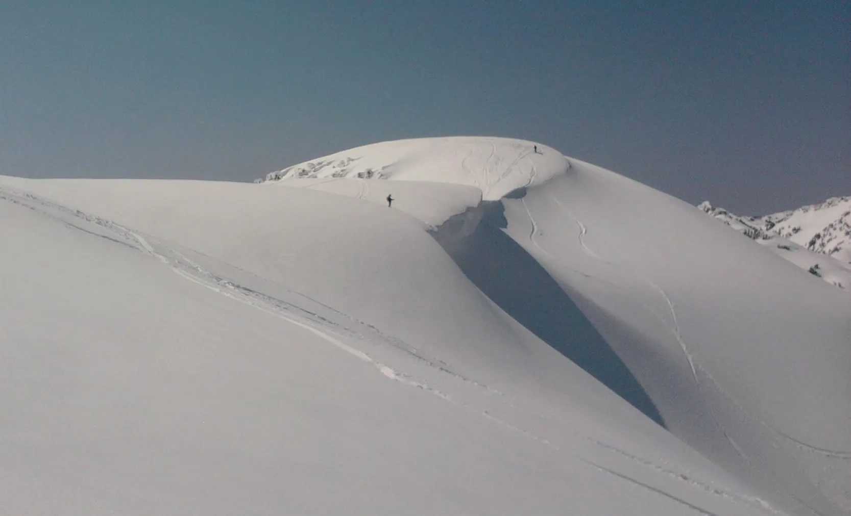
Mt. Baker sits in West Slopes North, one of ten zones the Northwest Avalanche Center forecasts. A new forecast posts each evening at 6 p.m. for the following day, from roughly mid-November until mid-April. Read the avalanche problem before you read the danger number — the problem names the slopes to avoid, and the number on its own has fooled people who assumed Moderate meant safe.
Most people who stay with us never need this page. If your plan is lifts, a groomed run and a drive back down the highway, the ski patrol and WSDOT have already made the decisions that matter. But every winter a handful of our guests end up on the wrong side of that line without meaning to, so here is the forecast explained by people who read it every week from November to April.
Do you actually need the avalanche forecast for a Mt. Baker trip?
Three groups do: anyone leaving the ski area boundary, anyone walking or snowshoeing uphill from a plowed lot toward Artist Point or the Shuksan Arm, and anyone touring at Salmon Ridge on a warm storm day. Riding lifts inside the ropes does not require it. Not knowing which group you are in is the actual hazard.
The reason the third group surprises people is that a snowshoe is not a permission slip. The Washington Trails Association is direct about the popular walk up to Artist Point: “The route to Artist Point does go through avalanche terrain, so this trip is not without danger.” Our snowshoeing guide covers which of the five local routes cross that terrain and which do not.
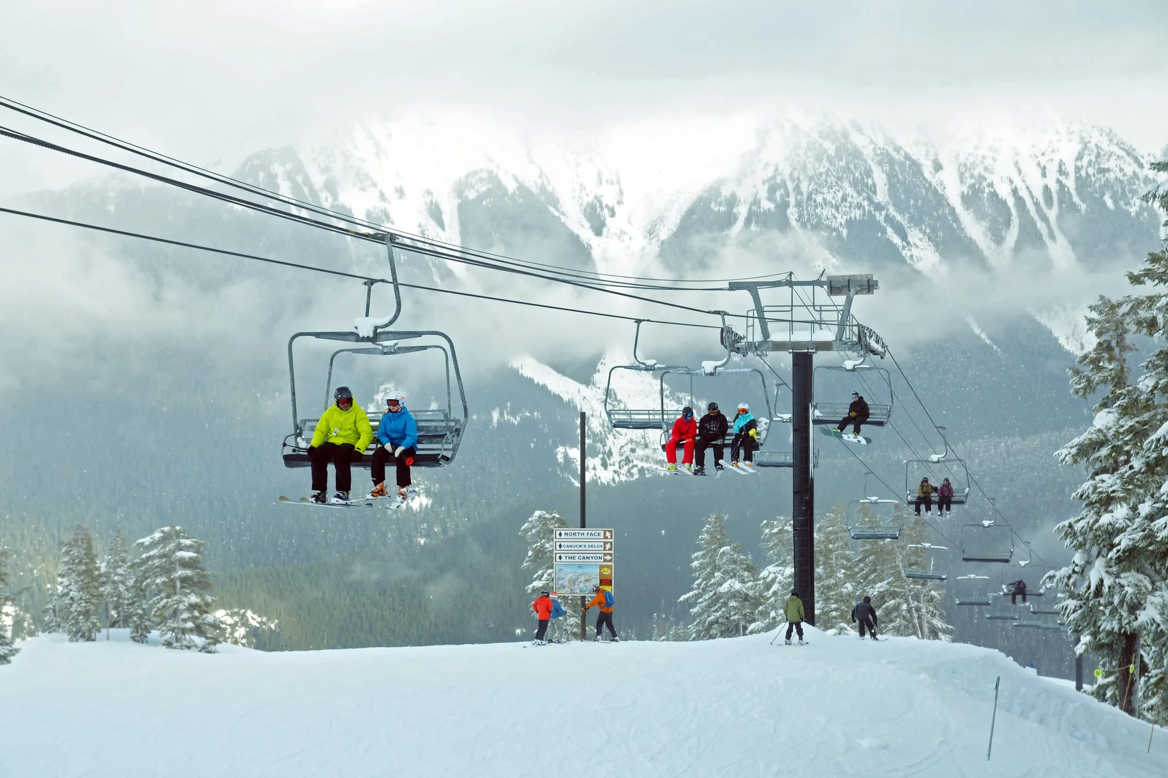 Inside the ropes at Mt. Baker, patrol makes the avalanche decisions for you. The boundary is the point where that stops. Photo: kallerna, CC BY-SA 3.0. Cropped and tonally adjusted.

Which NWAC zone covers Mt. Baker, and when is it running?
West Slopes North. NWAC divides Washington and northern Oregon into ten zones, and this is the northern one on the wet side of the Cascade crest. It is a large area, not a Mt. Baker-specific product — the same rating covers terrain a long way from our valley. Forecasts run roughly mid-November through mid-April.
Checked on September 25, 2026, the West Slopes North page carried no danger rating and the off-season standing advice: “Watch for signs of unstable snow such as recent avalanches, cracking in the snow, and audible collapsing. Avoid traveling on or under similar slopes.” Daily forecasting resumes once there is enough snow for consistent on-snow travel, which in a normal year means the second half of November.
Worth knowing who makes it. NWAC is two organizations wearing one name: eleven forecasters who are US Forest Service employees, and a nonprofit that pays for the website, the app and the weather stations they depend on. Federal staffing for the center has been genuinely precarious in recent seasons. It is free, it is excellent, and it is not guaranteed infrastructure.
What do the five danger ratings actually mean?
Five levels, and the danger increases exponentially between them rather than in even steps. The wording below is the official North American Public Avalanche Danger Scale, which every US forecast center uses. Read the words, not the color.
| Level | What the scale actually says |
|---|---|
| 1 – Low | “Generally safe avalanche conditions.” Natural and human-triggered avalanches “considered unlikely,” but still possible on isolated features and in extreme terrain |
| 2 – Moderate | “Heightened avalanche conditions on specific terrain features.” Natural avalanches unlikely, human-triggered avalanches possible. Evaluate snow and terrain carefully |
| 3 – Considerable | “Dangerous avalanche conditions.” Natural avalanches possible, human-triggered slides likely. Careful route-finding and conservative decisions are called essential |
| 4 – High | “Very dangerous avalanche conditions.” Natural avalanches likely, human-triggered very likely. “Travel in avalanche terrain is not recommended” |
| 5 – Extreme | “Extraordinarily dangerous avalanche conditions.” Avalanches certain. “All avalanche terrain should be avoided” |
Source: avalanche.org, the national clearinghouse for US forecast centers.
Why do people die on Moderate and Considerable days?
Because those are the days people go out. Avalanche.org states it plainly on its own Level 3 page: “Historically, the highest number of avalanche fatalities have occurred when the danger was rated Considerable.” High and Extreme days keep people home. Moderate days do not, and Moderate still means human-triggered avalanches are possible.
This corridor has its own version of that lesson. In January 2016 two slides released within fifteen minutes at about 4,200 feet on the north slope of Mt. Herman, just outside the ski area; a Bellingham skier was killed and a second was airlifted out with a head injury. NWAC’s Scott Schell told KOMO afterward: “Moderate is down the scale, but it doesn’t mean that avalanches can’t occur.”
It keeps happening on a smaller scale. NWAC’s local accident reports log a soft slab on the east face of Mt. Herman on February 14, 2026 — 4,800 feet, east-southeast aspect, two experienced backcountry skiers, one carried into a tree and buried to his chest before a nearby touring party sledded him out. In March 2023 a skier on Slate Mountain at about 6,100 feet was caught, carried and flown out with significant traumatic injuries.
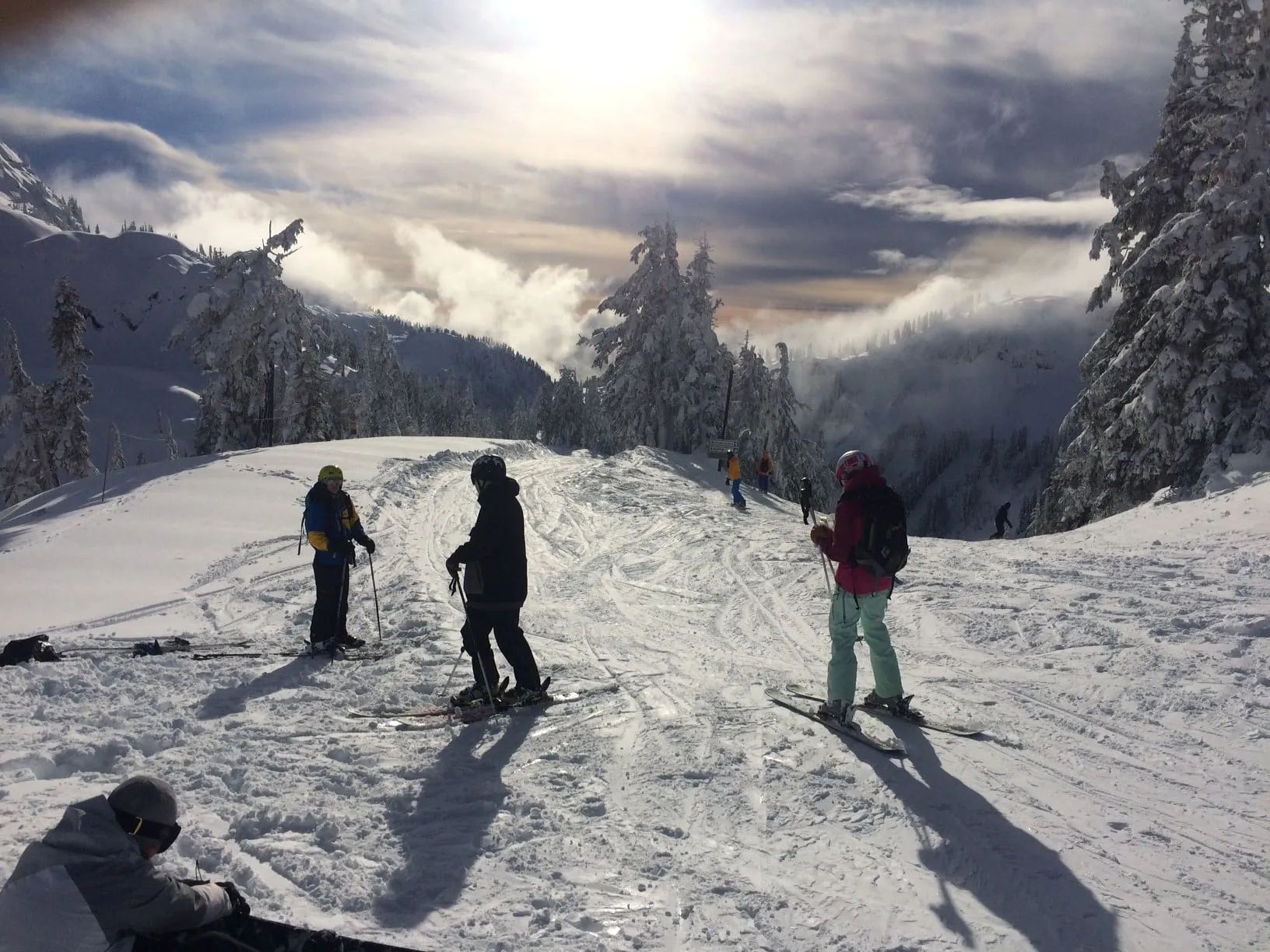 The Upper Austin area above Heather Meadows in January. An archival midwinter view, not current conditions. Photo: US Forest Service – Pacific Northwest Region, public domain.
.jpg)
What is an “avalanche problem,” and why does it matter more than the number?
The problem is the specific instability the forecaster is worried about, and it tells you which slopes to avoid. A wind slab problem sends you off lee ridgelines. A persistent slab problem is a reason to stay off steep terrain entirely. The danger rating summarizes; the problem is the instruction.
Forecasts use a defined set of them: dry loose, storm slab, wind slab, persistent slab, deep persistent slab, wet loose, wet slab, cornice fall and glide avalanche, plus “normal caution” when none applies. Each comes with a rose diagram showing the aspects and elevations where it lives, and estimates of how likely it is and how big.
Two of those are the maritime Mt. Baker specialties. Storm slab shows up after the kind of dump this place is famous for. Wet loose and wet slab show up when a warm atmospheric river hits a deep snowpack, which in this valley can happen in January. The cornice at the top of this page is the third: our ridges build enormous ones, and a cornice failure both falls on you and triggers the slope underneath.
What do the elevation bands mean on the Mt. Baker Highway?
Each zone is split into three bands — lower, middle and upper — and each gets its own rating. NWAC publishes elevation numbers for each band on the zone page, and treats them as approximate rather than surveyed lines. On SR 542 the practical version is the drive itself: you gain about 4,400 feet from Glacier to Artist Point.
| Where you are | Elevation | Why it matters |
|---|---|---|
| Glacier and the valley floor | Under 1,000 ft | Frequently rain when the mountain is getting snow |
| Salmon Ridge Sno-Park | 2,000 ft | The coin-flip band — rain or powder, some days both |
| White Salmon base | 3,500 ft | Lower lifts and lots |
| Heather Meadows base | 4,300 ft | Upper lots, visitor center, the walk-up start |
| Top of Chair 8 | 5,089 ft | Boundary and Shuksan Arm access |
| Artist Point | 5,100+ ft | Gated in winter; the snowshoe objective |
Read the band you will actually be standing in, not the headline number. A Considerable rating at upper elevations and Moderate below is a completely different day depending on whether you stop at the visitor center or keep walking.
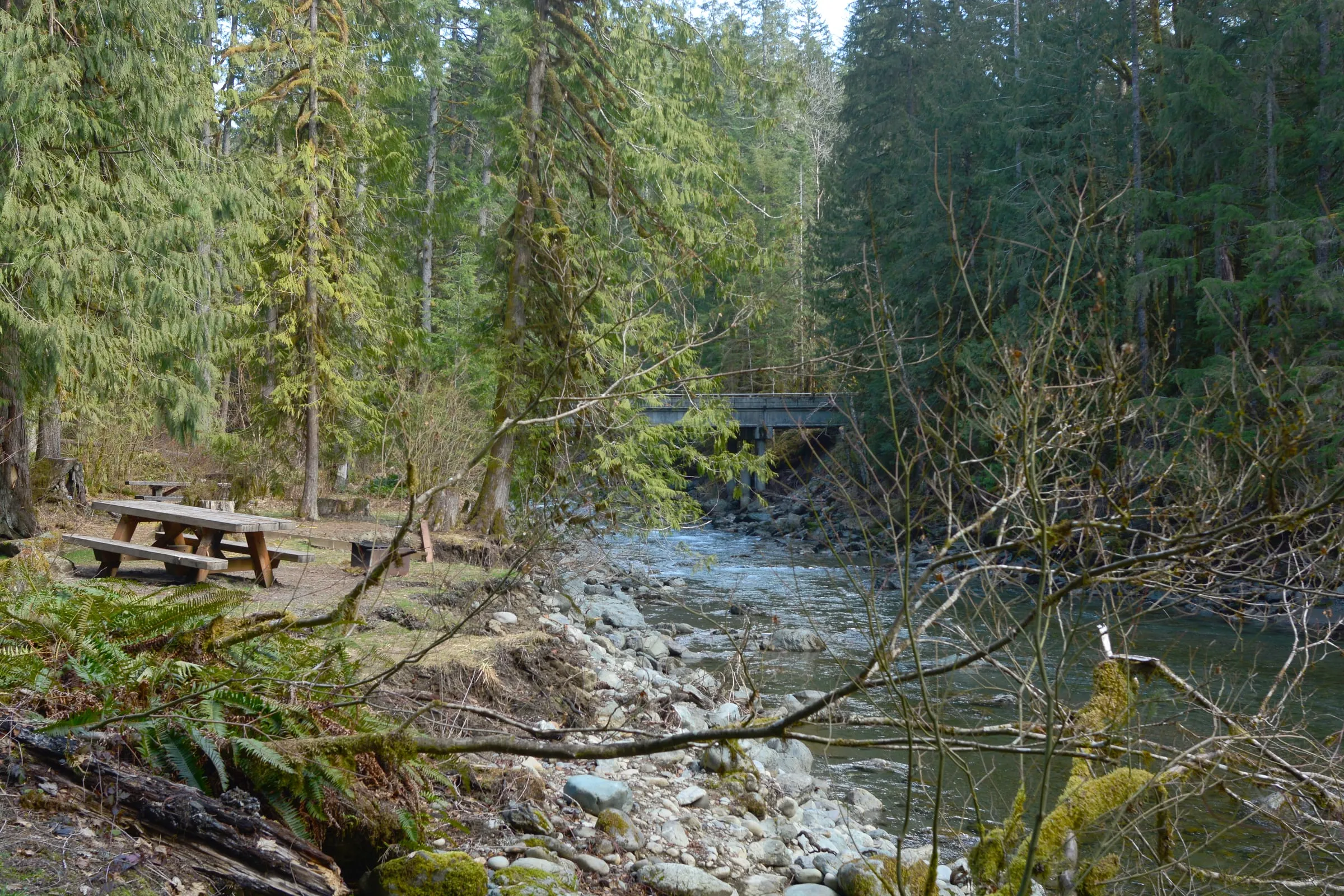 The North Fork at Douglas Fir Campground, two miles east of Glacier, in March. The valley floor is often bare while the ski area is buried — that spread is the whole reason the bands exist. Photo: Joe Mabel, CC BY-SA 4.0.

What does the NWAC forecast not cover?
Three things people assume it covers. It does not rate terrain inside the ski area boundary — patrol does that with control work and closures. It does not tell you whether any particular slope will slide. And it does not forecast the highway, which is the gap that catches guests out.
For road status, WSDOT owns the answer and NWAC does not. WSDOT’s avalanche control program describes its work on I-90 Snoqualmie Pass and US 2 Stevens Pass; SR 542 is not one of the named control locations, so on our highway the response to avalanche risk is closure rather than scheduled shooting. That is one more reason our road conditions page lists WSDOT, NWAC and the ski area as three separate sources you have to check separately.
The other omission is the off-season. From mid-April to mid-November there is no daily rating for terrain that still holds snow. May and June avalanches on this mountain are real.
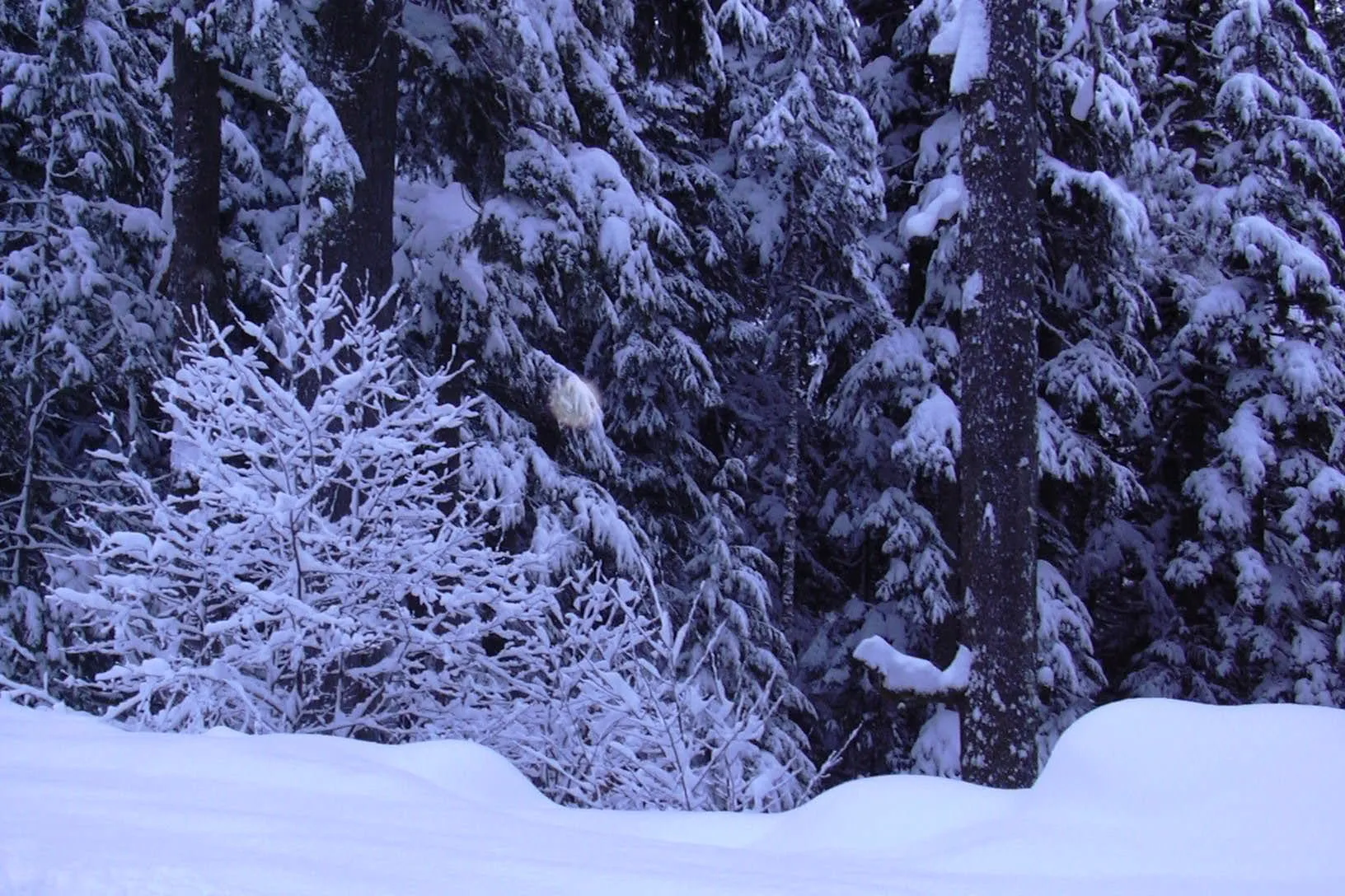 The upper Mt. Baker Highway in January. The avalanche forecast says nothing about this. Photo: Maia!, public domain. Cropped and tonally adjusted; an archival winter view.

What does Mt. Baker Ski Area require if you leave the boundary?
Four things, and the published policy says you lose ski area privileges without all of them: knowledge of this winter’s snowpack and the current NWAC forecast, a partner, an avalanche transceiver plus the demonstrated ability to use it, and a shovel. Probes and cell phones are strongly recommended.
Mt. Baker does not use numbered gates the way some resorts do — the boundary is a rope, and the ski area notes that the eastern edge between the backcountry and Gunners Bowl and The Canyon is not marked but exists. What lies beyond is national forest, which the policy describes in capitals as “NOT CONTROLLED for AVALANCHES or PATROLLED,” dangerous at all times, where “RESCUE MAY NOT BE POSSIBLE” and the minimum rescue charge is $750.
One hazard here is not an avalanche at all. Deep unconsolidated snow and tree wells cause snow immersion suffocation, and the ski area’s own advisory reduces it to four words: “KEEP YOUR PARTNER IN SIGHT.” Northwest Avalanche Institute tracking has counted 106 SIS deaths at US ski areas since 2002, nineteen of them in Washington, and 72% of victims were riding with partners who had lost sight of them.
How fast does a rescue have to be?
Faster than anyone can drive to you. The clinical data from Alpine burials is unambiguous: survival sits around 93% if the victim is dug out within fifteen minutes, falls to roughly 30% by thirty-five minutes, and reaches about 3% at ninety minutes. Your partner with a beacon and a shovel is the rescue. Everything else arrives later.
That is the entire argument for the transceiver requirement, and the reason “we’ll just be careful” is not a plan. It is also why the ski area insists on a partner: in the terrain above Chair 8, a solo burial is a fatality regardless of what gear is in your pack. Fifteen minutes is the number from the research, not a slogan.
Where do you learn this near Mt. Baker?
Four options, from free to serious. Start with NWAC’s own class if you have never read a forecast; take a full AIARE 1 before you plan to leave the boundary regularly. Everything below was checked on September 25, 2026, and prices change every season.
| Course | Length | Cost | Notes |
|---|---|---|---|
| NWAC Avalanche Awareness | 90 minutes | Free | Indoor, teaches you to read the forecast. Dates post on NWAC’s events page |
| Mt. Baker Avalanche Awareness & Backcountry Fundamentals | 12 hours | $195 passholders, $275 others | In-bounds field sessions. The page still showed 2025-26 dates today |
| Baker Mountain Guides AIARE 1 | 24 hours, hybrid | $600 | Mount Baker backcountry. Dates run Dec 5 through Mar 7 |
| American Alpine Institute AIARE 1 | 2 evenings + 2 field days | $725 | North Cascades, Dec 1 2026 through Mar 14 2027 |
Rentals are a separate question, and beacon-shovel-probe packages are not universally stocked up here — our ski and snowboard rentals guide has who carries what on the highway.
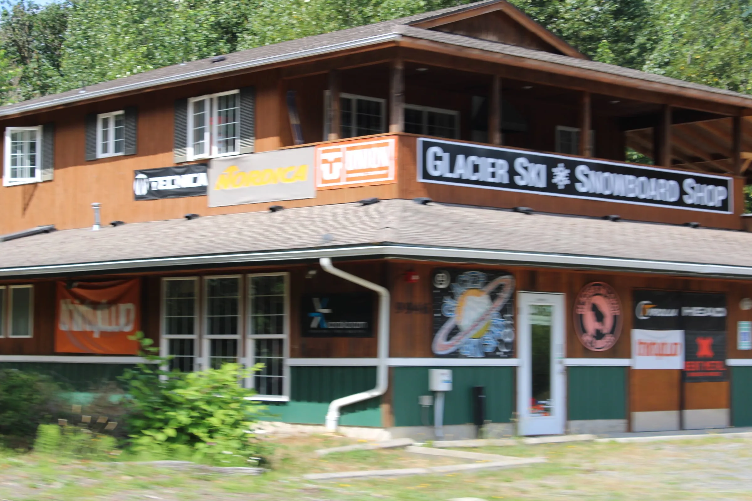 The Glacier Ski & Snowboard Shop on the Mt. Baker Highway, July 2024. Photo: Chris Light, CC BY-SA 4.0.

What we tell guests the night before
Read the forecast at the cabin, not in the parking lot. It posts at 6 p.m. the evening before, and the evening is when you can still change the plan. Three questions, in order: what is the problem, which aspects and elevations does it live on, and does our route touch them.
Then download everything. Cell service thins from Kendall eastward and there are pockets at best in Glacier, so a forecast you did not screenshot is a forecast you do not have. Check the chain requirement on the same pass, because a High danger day and a chains-required day usually arrive together.
And if you saw something — a collapse, a shooting crack, a fresh crown — file it on NWAC’s observations page. Anyone can, no training required, and a zone this large partly runs on what the people standing in it report.
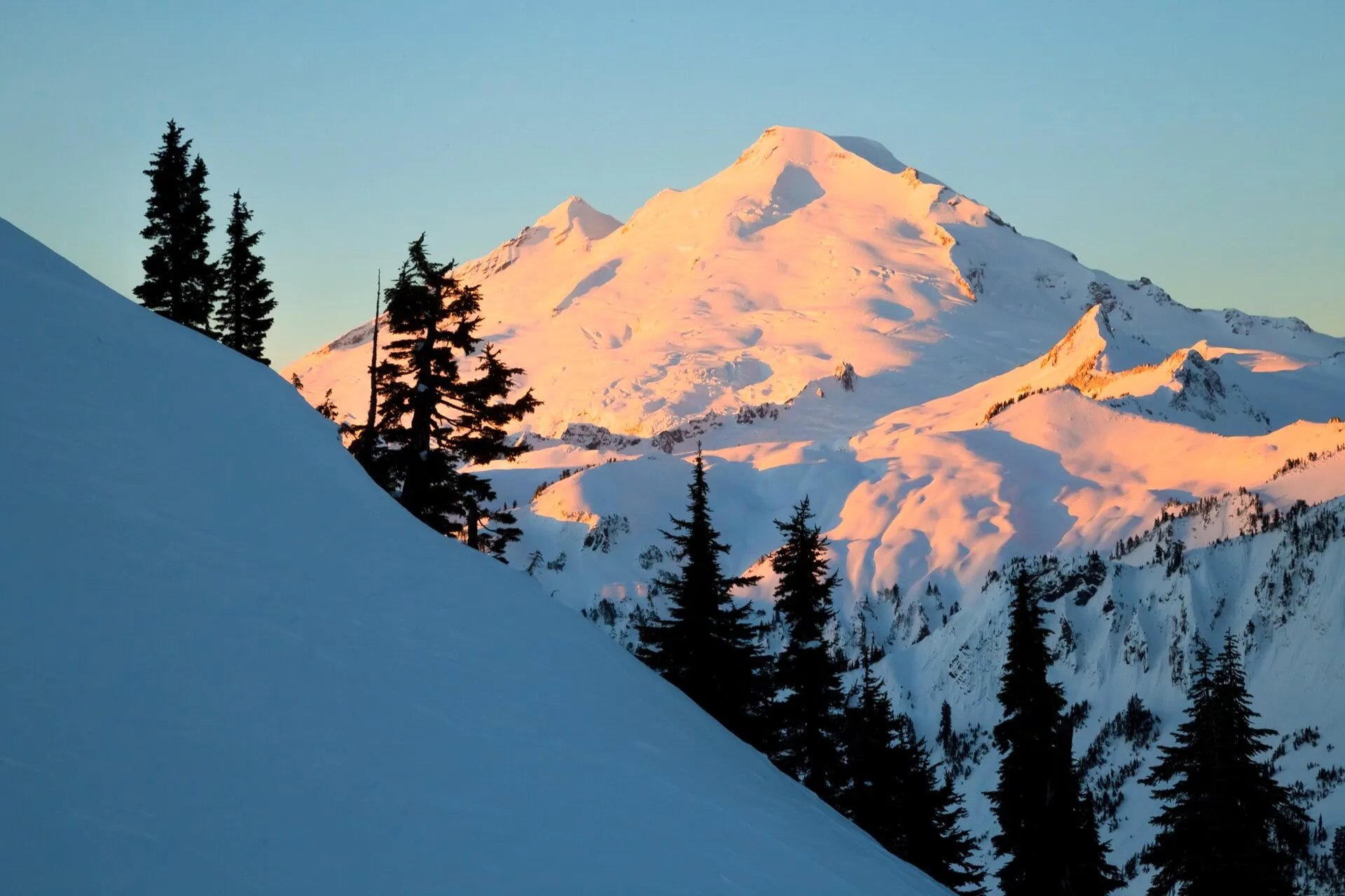 Artist Point under full winter snowpack. The road is gated; the people who get here in February walked, and the route crosses avalanche terrain. Photo: US Forest Service – Pacific Northwest Region, public domain.
.jpg)
Where should you stay if you are reading forecasts?
Somewhere with wifi and a 6 p.m. routine. The Black Cedar in Glacier sleeps 6 and sits about 40 minutes from the lifts, which makes it the shorter morning if your plan involves being at the boundary at 9 a.m. — and it has a cedar barrel sauna and a hot tub for the day after a big tour. The Little Red Cabin in Maple Falls sleeps 4, has its own hot tub, and is 15 minutes further down the valley.
Both have real wifi despite the dead cell service outside, which is the practical reason we tell people to sort the plan at the cabin. If you are choosing between the two towns, our where to stay near Mt. Baker guide has the tradeoffs, and the lodging picture for the whole corridor explains why there is so little else out here. Neither cabin takes pets.
If the trip is lifts-only, none of this applies and you can skip straight to the ski area guide and when Mt. Baker opens. The forecast is for the day you decide to walk uphill instead — and the honest reason we wrote this page is that a lot of people make that decision at the top of Chair 8 without having read anything.
Last verified: 2026-09-25. Course prices and dates, forecast season timing and ski area policy all change. Check NWAC, WSDOT and Mt. Baker Ski Area before you go. We are hosts, not avalanche educators — take a class from the people who are.