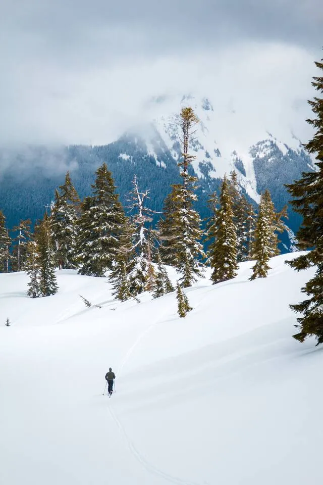
Start at Salmon Ridge Sno-Park, about 13 miles east of Glacier, where 15 miles of non-motorized trail sit at 2,000 feet and a $25 day permit is the only cost. Step up to White Salmon Road for higher, more reliable snow and no permit at all. Leave Artist Point for last, because it crosses avalanche terrain and that changes what the trip asks of you.
Those three places cover almost everyone who asks us this question. Below they’re broken into five specific routes, easiest first, with what each one actually requires.
Where can you actually snowshoe near Mt. Baker?
Two clusters, 5 miles of highway apart. Salmon Ridge Sno-Park near milepost 46 holds the gentle, low-elevation trails and needs a Washington Sno-Park permit. The unsigned hairpin above it and the last plowed lot at Heather Meadows hold the higher, harder routes and need no permit at all.
| Route | Distance (roundtrip) | Gain | Where it starts | Permit |
|---|---|---|---|---|
| Silver Fir Campground loops | 1.2 mi | flat | Across SR 542 from the Salmon Ridge lot | Sno-Park |
| River Trail – Mom’s loop | 1.4 mi | flat | Salmon Ridge lot | Sno-Park |
| Razor Hone Road to White Salmon Creek | 5.4 mi | 300 ft | Salmon Ridge lot | Sno-Park |
| White Salmon Road (NF 3075) | 5.0 mi | 485 ft | Hairpin between mileposts 51 and 52 | None |
| Artist Point | 4.0 mi | 1,000 ft | Last plowed lot, Heather Meadows | None |
One thing to get out of the way, because people arrive expecting otherwise: the ski area is not part of this list. Mt. Baker Ski Area states it plainly in its mountain FAQ — “We do not have snowshoe trails within the ski area boundaries and do not rent snowshoes.” Everything below is Forest Service or State Parks land where, as the ski area also puts it, “Winter snow play in the National Forest is at your own risk.”
Do you need a permit to snowshoe near Mt. Baker?
Only at Salmon Ridge. Washington State Parks charges $25 for a day or $50 for the season online, sold November 1 through April 30. The Forest Service says the permit is required in the main lot December 1 through March 31. White Salmon Road and the Artist Point route need nothing.
Skip the $70 Special Groomed Trail sticker. It’s a seasonal add-on for eight specific Sno-Parks — Cabin Creek, Lake Easton, Chiwawa, Lake Wenatchee, Crystal Springs, Mount Spokane, Hyak, and Nason Ridge. Salmon Ridge isn’t one of them, and State Parks lists only the plain Sno-Park permit for it.
A Discover Pass does not cover a Sno-Park, and neither does a Northwest Forest Pass. Buy online through the State Parks store, or from one of the five retail vendors State Parks lists in Whatcom County. Three are in Bellingham: REI on 36th Street, Backcountry Essentials at 214 W Holly, and the Nooksack Nordic Ski Club. Two are 20 miles further up the highway in Maple Falls — Cross Road Grocery & Video at 7802 Silver Lake Rd and the Mt. Baker Chamber & Visitor Center at 7509 Mt. Baker Hwy — which is the last chance if you get to Kendall and realise you forgot. Retail vendors add a handling fee.
Which snowshoe route is best for a first-timer?
The Silver Fir Campground loops, across the highway from the Salmon Ridge lot. About 1.2 miles of flat trail through forest with short spurs to the riverbank, and it’s one of the two areas the Forest Service designates for snowshoes. If you want a little more, the River Trail–Mom’s loop on the lot side runs 1.4 miles.
The Nooksack Nordic Ski Club, which does the grooming here, describes that loop as winding “in and out among the trees” before finding “its way over to the bank of the North Fork of the Nooksack.” Their snowshoe page also lists Jerry Bourn, 1.2 miles out and back, as the quieter option when the lot is full.
Here’s the part nobody puts on a tourism page. Salmon Ridge sits at 2,000 feet, and in this corridor 2,000 feet is a coin flip. Warm storms arrive as rain down there while the ski area gets three feet. WTA recommends calling the Glacier Public Service Center at (360) 599-2714 for a snow report precisely “because the Salmon Ridge Sno-Park is at a relatively low elevation.” Do that before you commit, and check our road conditions page for the drive itself.
What is White Salmon Road, and why does everyone confuse it with Salmon Ridge?
They’re different places with confusingly similar names, 5 miles apart, and only one needs a permit. White Salmon Road is Forest Road 3075, off a hairpin between mileposts 51 and 52 just past Razor Hone Creek. WTA measures it at 5 miles roundtrip, 485 feet of gain, topping out at 3,500 feet. No pass.
WTA flags the confusion itself, noting that White Salmon Road is “not related to Salmon Ridge or White Salmon Creek. Those are separate areas, slightly more advanced, and require a Sno-Park permit.” Meanwhile the 5.4-mile Salmon Ridge route follows Razor Hone Road (FR 3070) east along the river to White Salmon Creek. Three names, two trailheads, one permit between them.
The 1,500 feet of extra elevation is the real reason to drive past Salmon Ridge. Higher start, better odds of actual snow, and Mount Shuksan shows up on the way. Two cautions. The road drops as you head out, so you climb on the way back, when you’re tired. And parking is genuinely tight: WTA counts “room for about a dozen cars in the plowed portion,” and the Forest Service is blunt that parking is “not allowed along the state highway.” Worth knowing that WTA describes a sign at the turn while the Forest Service says the entrance “is not signed.” Watch for the hairpin, roughly a quarter mile below the White Salmon Day Lodge, and don’t trust the sign to save you.
How hard is the snowshoe to Artist Point, and how risky is it?
Four miles roundtrip and 1,000 feet of gain to 5,100 feet, which sounds moderate and isn’t the hard part. WTA is direct: “The route to Artist Point does go through avalanche terrain, so this trip is not without danger.” That single sentence should decide whether this is your trip this weekend.
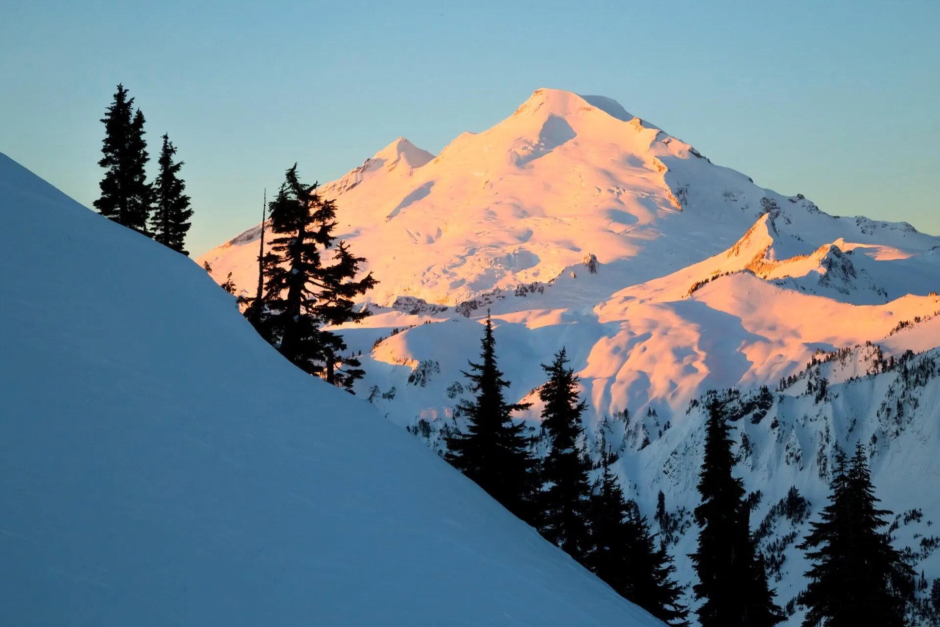
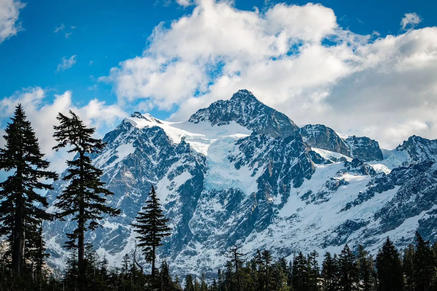
The route starts at the last plowed parking area, past Picture Lake and the lifts, and WTA notes the trail “begins left of the bathroom facilities.” From there it climbs toward Austin Pass along the marked ski area boundary, then southwest to Artist Point, with an optional 1.5-mile roundtrip extension to Huntoon Point. WSDOT gates the final 2.7 paved miles once the snow comes, usually in October, which is exactly why the route exists. Our full Artist Point guide covers the summer version.
Read the rest of WTA’s language carefully, because it’s doing real work. “Depending on the specific risks, it is best to avoid the area when avalanche risk is considerable. Please carefully consider the NWAC avalanche forecast before venturing out.” And: “the steepest terrain and the more dangerous avalanche slopes can be avoided, but this requires experience with route finding and snow conditions.” They also say to stay off the road to Austin Pass, which “is steep terrain with avalanche risk.”
The NWAC forecast zone you want is West Slopes North, and if you have never opened one, our guide to reading the Mt. Baker avalanche forecast walks through the danger scale, the avalanche problem and the elevation bands. We’re hosts, not avalanche educators, so we’ll point you at the people who are: NWAC runs free 90-minute avalanche awareness classes, aimed at exactly the person reading this paragraph. Take one before you take this route.
And a small letdown worth naming. The famous Picture Lake reflection loop is not a winter walk. The Forest Service notes the paved path is “typically snow free July-October,” and that in winter “the snow is very deep and the trail may be covered by multiple feet of snow.” At 4,100 feet there’s nothing to walk in January. You’ll see Shuksan from the plowed road and that’s the whole show.
Can you rent snowshoes near Mt. Baker?
Not at the ski area, which rents skis and boards only. Glacier Ski Shop on the Mt. Baker Highway lists an adult snowshoe package at $35, poles at $10, and shoe covers at $10 on its rental page, re-checked August 31, 2026. Call the rental shop at 360-599-1943 before you drive up, because the storefront switches to e-bikes in the off-season and the posted hours reflect that.
Renting in Glacier instead of Bellingham means one fewer stop, and it puts you 13 miles from the Salmon Ridge lot. Everything else you can rent on this highway — alpine, touring, cross-country, avalanche kit — is covered with current prices in our guide to ski and snowboard rentals near Mt. Baker. Sleds are the one thing nobody up here rents at all, which is why our sledding guide starts with “bring your own.” Remember there’s no fuel in Glacier — that’s covered in our corridor services guide, and Maple Falls is the last gas.
What do you need in the car, and where do you park?
Chains, always. Mt. Baker Ski Area states that “carrying tire chains in your vehicle is required to drive on SR 542 and you may be turned around without the proper equipment,” and the Forest Service notes all vehicles must carry them at Picture Lake November 15 through April 1. Download maps in Bellingham; cell service dies around Kendall.
| Where | Parking reality |
|---|---|
| Salmon Ridge | About 40 spaces. The Forest Service lists no restrooms and no potable water — don’t count on facilities |
| White Salmon Road | About a dozen cars in the plowed section, plus nearby plowed pullouts. Never park on the highway |
| Heather Meadows | The ski area’s lots. They’re first-come, and the ski area suggests arriving between 8 and 9 a.m. on busy weekends |
Our winter driving guide walks through what each WSDOT restriction level actually requires. One more courtesy: at Salmon Ridge the groomed tracks belong to skiers. The Nooksack Nordic club’s rule is simple — “snowshoers go down the opposite side of the trail from the parallel tracks,” and the center is left for skate skiers. The Forest Service adds that dogs are discouraged on the groomed trails.
Where should you stay to snowshoe Mt. Baker?
There is no lodging at the ski area, so everyone sleeps down-valley in Glacier or Maple Falls. Both of ours put you inside the chain zone with the trailheads a short drive up the highway, which matters when you want to check the snow report at 7 a.m. and still be on the trail by nine.
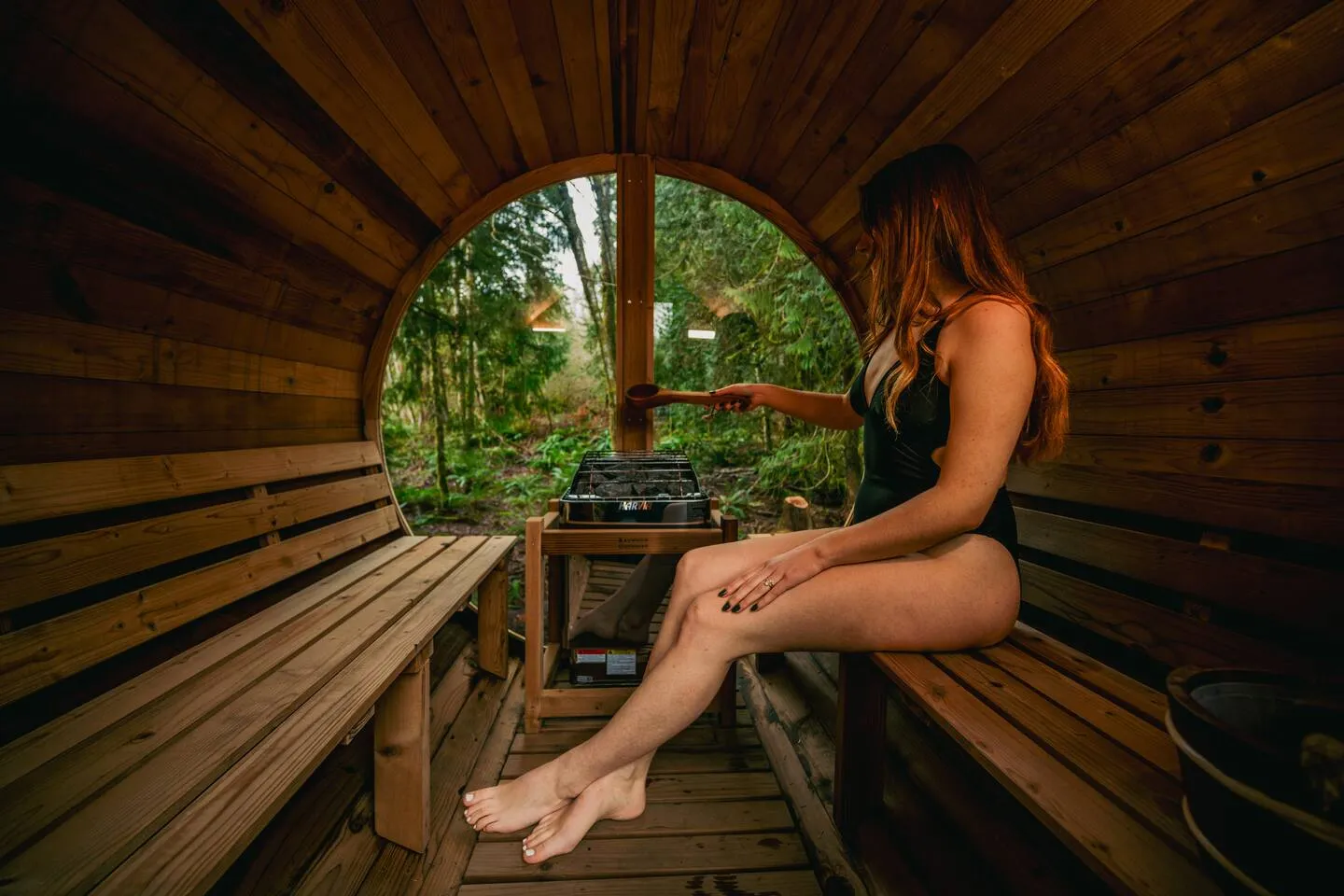
Our A-frame is the closer one: about 10 minutes from Glacier’s town center and roughly 40 minutes from the ski area, so Salmon Ridge and White Salmon Road are both easy morning drives. It also has the thing you’ll want after a day of postholing, which is a cedar barrel sauna in the woods, a hot tub, and an outdoor shower between them. The espresso bar is free, and on a snowshoe morning that’s not a small detail.
Our red cabin in Maple Falls is 15 minutes further out and cheaper for it, sleeps four, and has its own hot tub and fire pit. It’s also 45 minutes from the ski area and, usefully for this trip, the last gas in the valley is right there. Both cabins are strictly no-pets, which is worth saying on a page about trails where dogs are discouraged anyway.
If you’re still deciding between towns, our where to stay breakdown compares them honestly, and the lodging guide lists every option in the corridor, ours included. If snowshoeing is the rest day on a ski trip, the 3-day ski weekend itinerary already has it slotted into Sunday.
Last verified: 2026-08-17. Permit prices, rental rates, and seasonal dates change. Check WSDOT, NWAC, and State Parks before you go.