Mt. Baker Places Hike Glacier, WA
Skyline Divide
Summer–fall
A 9-mile ridge walk to 6,563 feet — currently a foot-or-bike approach, FR 37 is gated
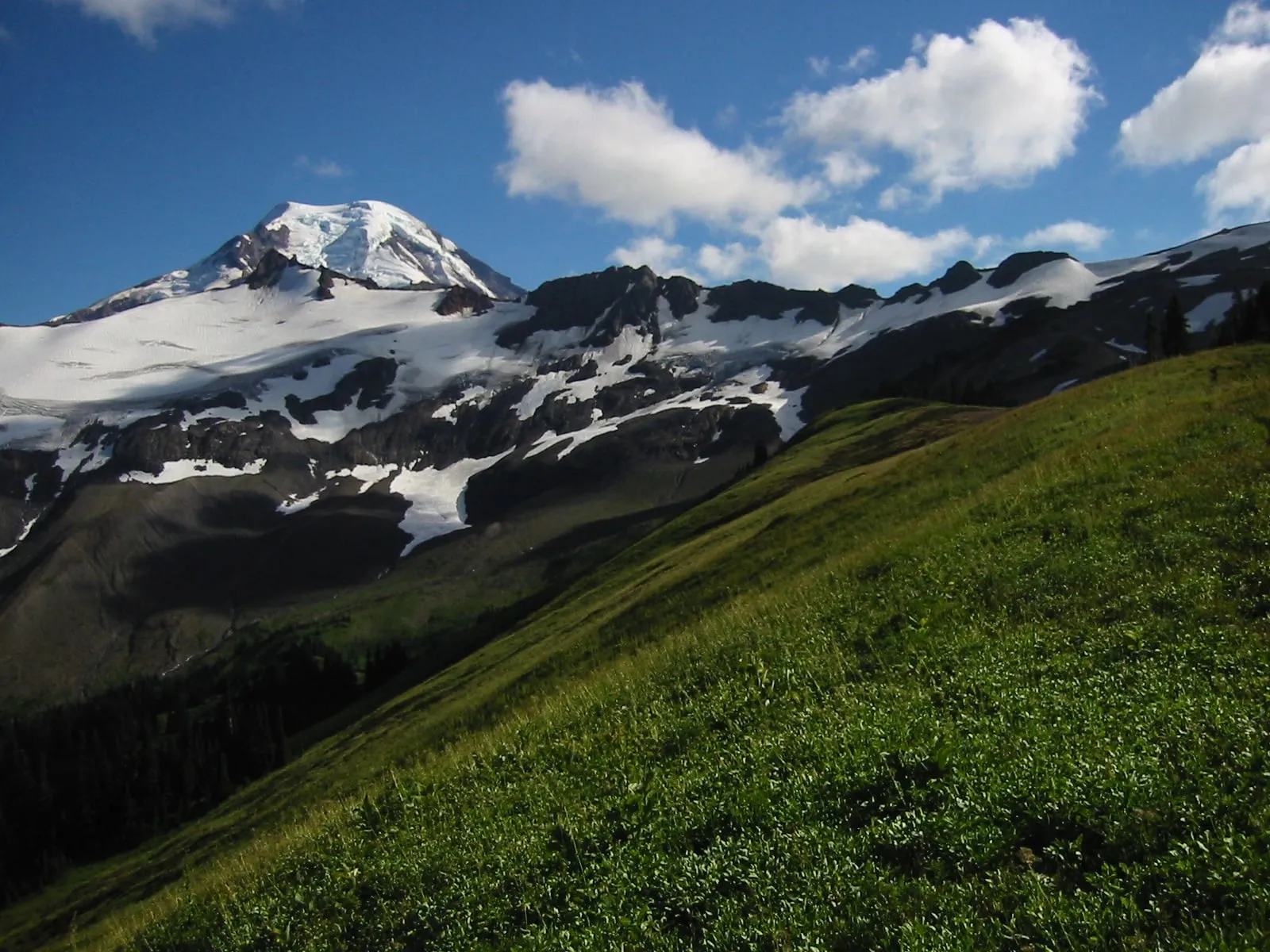
Skyline Divide is the big ridge hike on our side of the valley: 9 miles round trip, 2,500 feet of gain, topping out at 6,563 feet, and the trailhead our A-frame sits closest to. The honest news first: you can’t currently drive to it. Deadhorse Creek Road (FR 37) has been gated at mile 0.03 since June 1, 2026 for flood-damage repair, which turns what is normally a 12.9-mile drive of switchbacks, potholes, and blind turns into a walk or a bike ride.
The trail is still legally hikeable — you just have to earn the trailhead — so for now this is a page for cyclists and the very determined. Everyone else, point the morning at Chain Lakes or Ptarmigan Ridge until the Forest Service reopens the road, and check its alerts page before committing either way. We track status in our best hikes near Mt. Baker guide.
Know before you go
- Round trip: 9.0 miles from the trailhead itself
- Elevation gain: 2,500 feet; high point 6,563 feet
- FR 37 (Deadhorse Creek Road) closed to vehicles at mile 0.03 since June 1, 2026 — approach on foot or bike
- Normal-year access is 12.9 miles of rough forest road out of Glacier
- Northwest Forest Pass ($5 day / $30 annual) or America the Beautiful pass required
Nearby & similar
More like this: all Mt. Baker Places · where to eat near Mt. Baker · the 9 best hikes