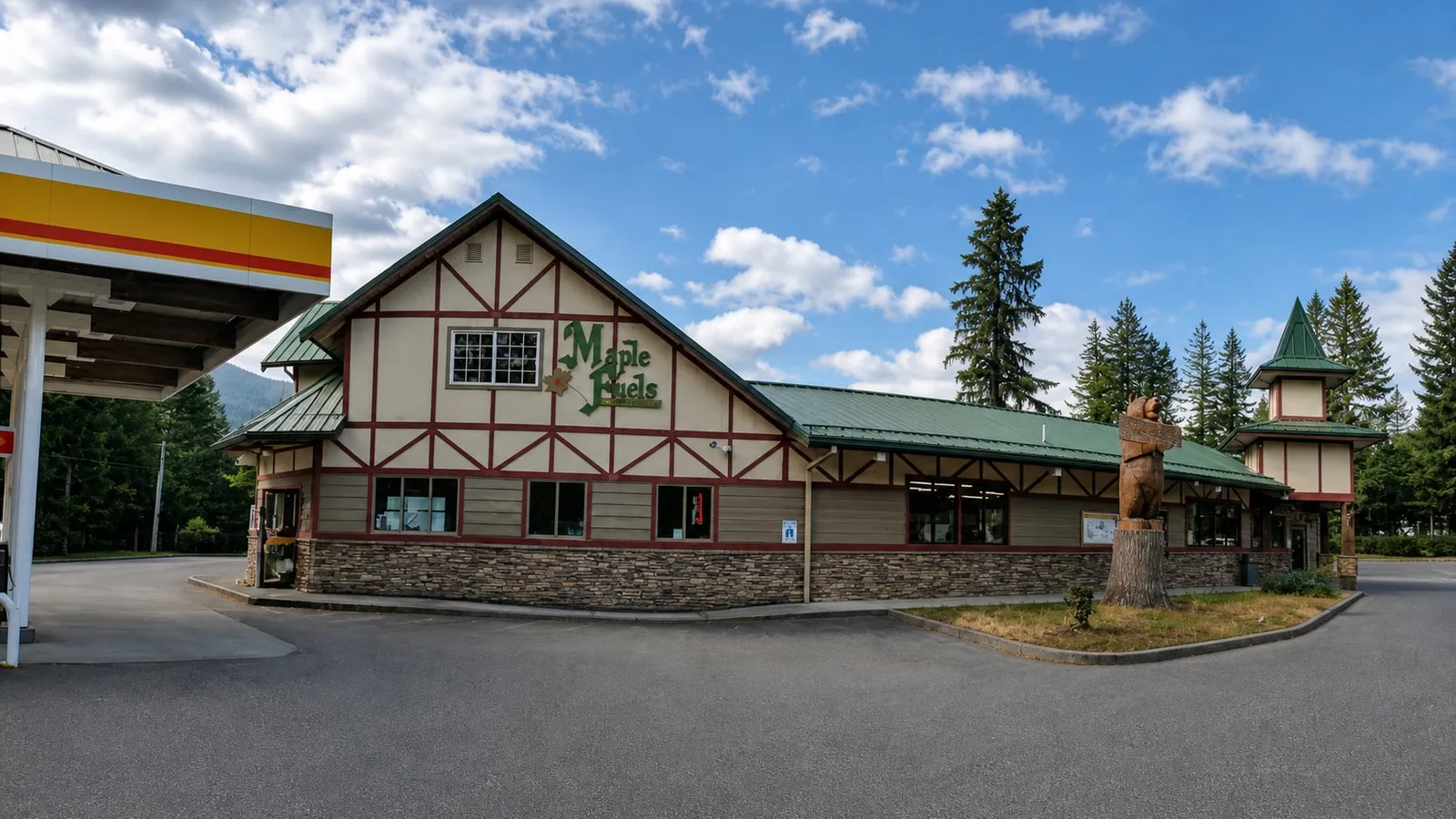
Maple Falls is an unincorporated community on the Mt. Baker Highway in Whatcom County, Washington, at milepost 26.6, about 25 highway miles below the Mt. Baker Ski Area base. The 2020 census counted 291 people. It has the last fuel on the road, the only real grocery, a visitor center and two county parks. It has no bank, no hospital and no bus stop.
We live and host on this road, and the question we answer most often is not “what is Maple Falls like” but “what did I just drive past that I am going to wish I had stopped for.”
Where is Maple Falls, Washington?
Maple Falls sits on State Route 542 in eastern Whatcom County, three miles east of the SR 547 junction at Kendall and roughly 27 miles east of Bellingham. Elevation is 633 feet and the census-designated place covers 3.0 square miles. The ZIP code is 98266. It is the second-to-last town before the national forest begins.
The precise anchor comes from WSDOT itself: its own facility list puts 7516 Mount Baker Highway, Maple Falls at SR 542 milepost 26.6. Mileposts on this highway count up from I-5, so a milepost number is also roughly your mileage from Bellingham. That makes the arithmetic from the crossroads easy.
| From the Maple Falls crossroads | Highway miles | Drive time |
|---|---|---|
| Glacier (last food and coffee) | ~6 | 15 min |
| Mt. Baker Ski Area, White Salmon base (MP 52) | ~25 | 45 min |
| Artist Point (summer only, MP 57.3) | ~31 | 1 hr |
| Bellingham | ~27 | 35 min |
| Vancouver, BC via the Sumas crossing | — | 1.5 hr |
| Seattle | — | 2 hr |
Miles are derived from the mileposts in our mile-by-mile guide to the highway; the drive times are the ones we give our own guests from our Maple Falls front door. Note that the ski area has two base areas about three highway miles apart — White Salmon near milepost 52 and the upper lodge at Heather Meadows near 54.5 — which is why published distances to “Mt. Baker” vary by a few miles depending on which lot someone measured to.
What is actually open in Maple Falls?
Four things matter: the fuel station and the grocery at the crossroads, the chamber’s visitor center, and the post office. Everything else — library, resource center, hardware, a bank — is either three miles west in Kendall or 27 miles west in Bellingham. Plan the stop, because there is no second chance above here.
| What | Where | Why you stop |
|---|---|---|
| Maple Fuels | 7797 Silver Lake Rd | Last gas, diesel and propane on SR 542 |
| Crossroads Grocery | 7802 Silver Lake Rd | The only full grocery run on this end of the highway; ice and firewood |
| Mt. Baker Visitor Center | 7509 Mt. Baker Hwy | Chamber information desk, (360) 599-1518 |
| Maple Falls Post Office | 7392 Mt. Baker Hwy | One of only two in the Foothills, per the county’s subarea plan |
| North Fork Library | 7506 Kendall Rd, 3 mi west | Tues 10–8, Wed 10–6, Thurs 10–8, Fri 10–6, Sat 10–5. Closed Sun–Mon |
| East Whatcom Regional Resource Center | 8251 Kendall Rd | County facility run by the Opportunity Council, (360) 599-3944 |
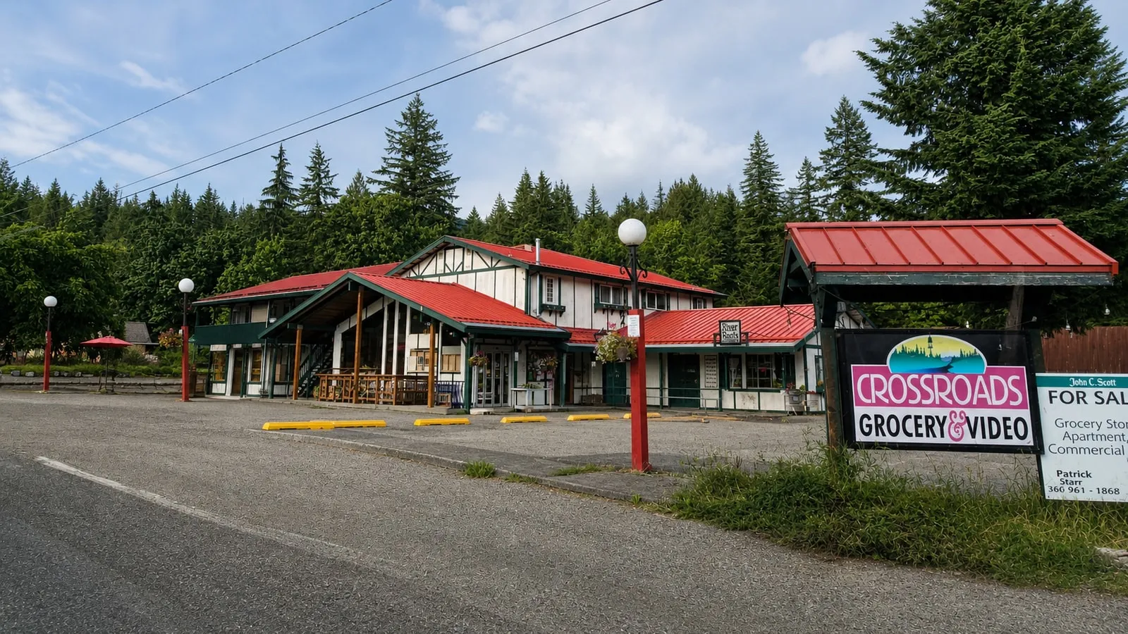 Crossroads Grocery, across Silver Lake Road from the fuel station. Photo: Blake McKinley, via Google Business Profile, June 2023. AI-assisted retouch.
Be honest with yourself about hours. Crossroads has had a “coming soon” placeholder website for over a year, and the chamber does not publish the visitor center’s hours on its own site. We re-check these pages monthly and they keep not changing. Treat posted hours in this valley as a hope, and shop while the lights are on.
Is Maple Falls really the last gas before Mt. Baker?
Yes, and it is not close. Maple Fuels at the crossroads is the final fuel on SR 542. There is no gas station in Glacier, none at the Glacier Public Service Center, and none at Mt. Baker Ski Area — that is roughly 25 miles and 3,000 feet of climbing from the pump to the lifts, then the same again coming down. We wrote the long version in there is no gas in Glacier because it is the single thing that surprises guests most.
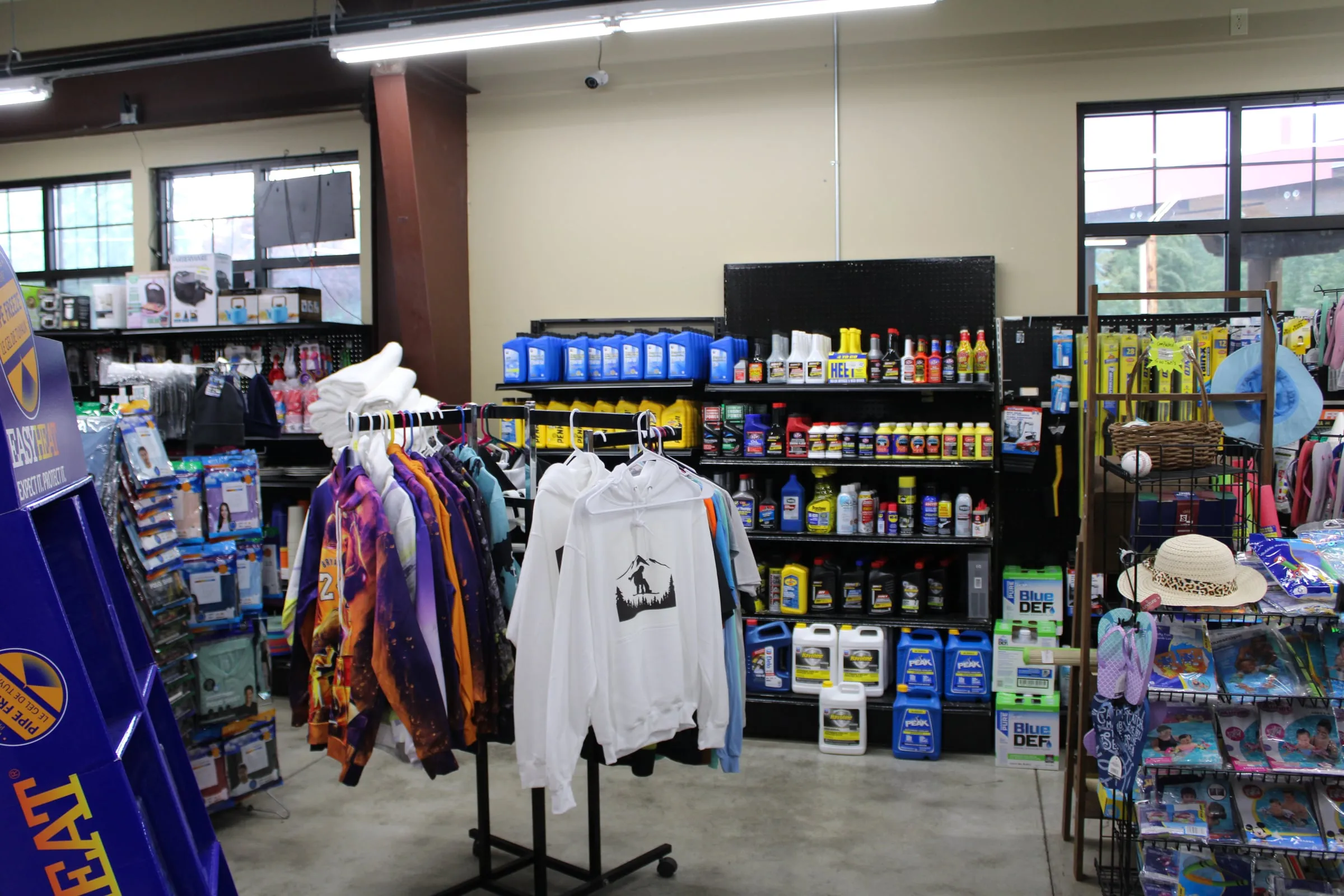 Antifreeze, pipe-freeze heat cable, pool floats and souvenir hoodies on the same aisle. That is a fair picture of what a one-store town has to stock. Photo: Chris Light, CC BY-SA 4.0, via Wikimedia Commons. Edited.

One naming quirk: locals call the station Maple Fuels Shell, while some fuel directories list it as a Chevron. Ignore the brand and look for the station at the corner of Mt. Baker Highway and Silver Lake Road, directly across from Crossroads.
Can you buy a Sno-Park permit in Maple Falls?
Yes — and most winter visitors drive past both vendors without knowing. Washington State Parks’ permit vendor list names two in Maple Falls: Cross Road Grocery & Video at 7802 Silver Lake Rd, and the Mt. Baker Chamber & Visitor Center at 7509 Mt. Baker Hwy. The only other Whatcom vendors are in Bellingham.
That matters if you are heading for Salmon Ridge Sno-Park at milepost 46 and realised at Kendall that you forgot to buy online. You have one more chance, and it is here. Retail vendors add a handling fee over the online price.
Why are there so many cabins in Maple Falls and so few residents?
Because the land around the town was platted for recreation, not for living. The Glen at Maple Falls alone — established 1975 — is a recreational community of 1,219 lots across seven divisions, with a stated maximum occupancy of 120 days per year. One subdivision holds four times as many lots as the census-designated place has residents.
It is not the only one. Whatcom County’s adopted Foothills Subarea Plan counts roughly 2,500 recreational units across The Glen, Camper’s Paradise and Black Mountain Ranch, and designates a Columbia Valley Urban Growth Area just west of town that takes in the Peaceful Valley and Paradise Lakes developments. The plan notes that most Peaceful Valley homes were built between 1970 and 1989, when “a quiet forest quickly became a bustling vacation community designed to serve Canadian visitors and people seeking a second home in the country.”
Two things follow from that, and both are useful. First, the local name for this area in county documents and in conversation is the Columbia Valley, which is why searching “Maple Falls” misses half of what is written about it. Second, Maple Falls itself is unusual on this highway for being mostly full-time: the same plan records that most Maple Falls residents live here year-round, while in Glacier roughly 85 percent of housing units were classed as seasonal, recreational or occasional use. The town works like a town. The forest around it works like a campground.
Those Foothills figures come from a plan adopted in 2011 using mid-2000s data, so read the counts as structure, not as this year’s numbers.
Can you get to Maple Falls without a car?
Not really, and this is worth knowing before you book a flight. Whatcom Transportation Authority’s route 72X is the only public transit in the corridor, and it does not reach Maple Falls. Its eastern end is the Kendall Road loop and the Peaceful Valley subdivision; the nearest stop to the crossroads is Kendall Rd at Mt Baker Hwy, about three miles west. Nothing serves Glacier or the ski area at all.
| Route 72X at Kendall Rd & Mt Baker Hwy | Toward Bellingham | Arriving from Bellingham |
|---|---|---|
| Monday–Friday | 8 trips, 6:40 a.m. to 7:59 p.m. | 8 trips, 6:05 a.m. to 7:34 p.m. |
| Saturday and Sunday | 4 trips, 8:02 a.m. to 7:30 p.m. | 4 trips, 7:35 a.m. to 6:57 p.m. |
Those times are read straight out of WTA’s published schedule data, feed version valid September 20, 2026 through February 6, 2027. Check it again before you rely on it; a winter service change lands inside that window.
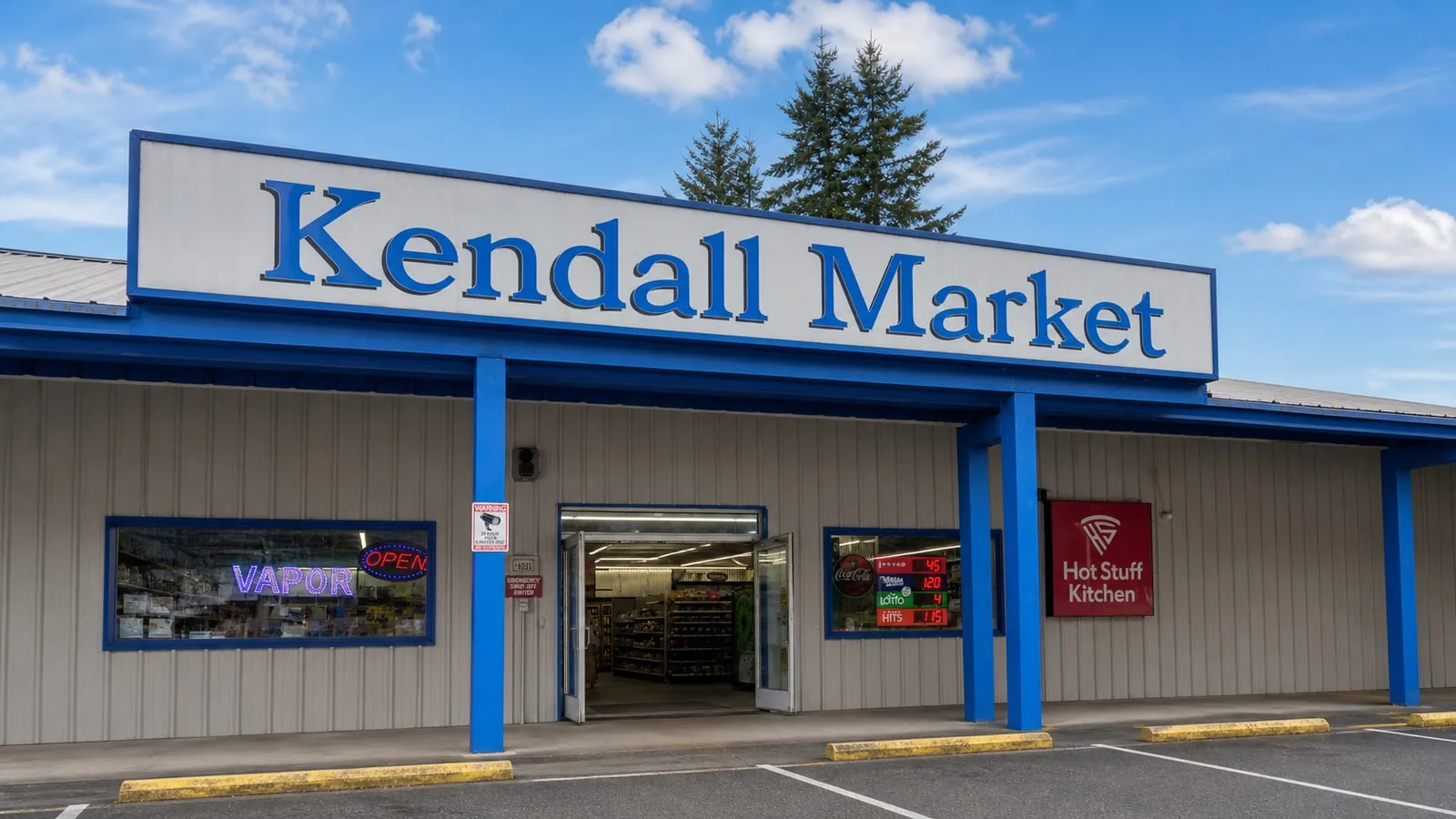 Kendall Market on Kendall Road, three miles west of the Maple Falls crossroads and the end of the bus line. Photo: Kyle Brown, via Google Business Profile, April 2026. AI-assisted retouch.
What is there to do in Maple Falls itself?
Two county parks, and they are genuinely different from each other. Maple Creek Park is the leg-stretcher on the north edge of town: a 1.3-mile moderate loop with a short detour to Maple Creek Falls about 0.2 miles in, open daily 8am to dusk, free. The county’s own page gives the park as both 73 acres and 79.7 acres in different places, which tells you something about how much attention this corner of the county gets.
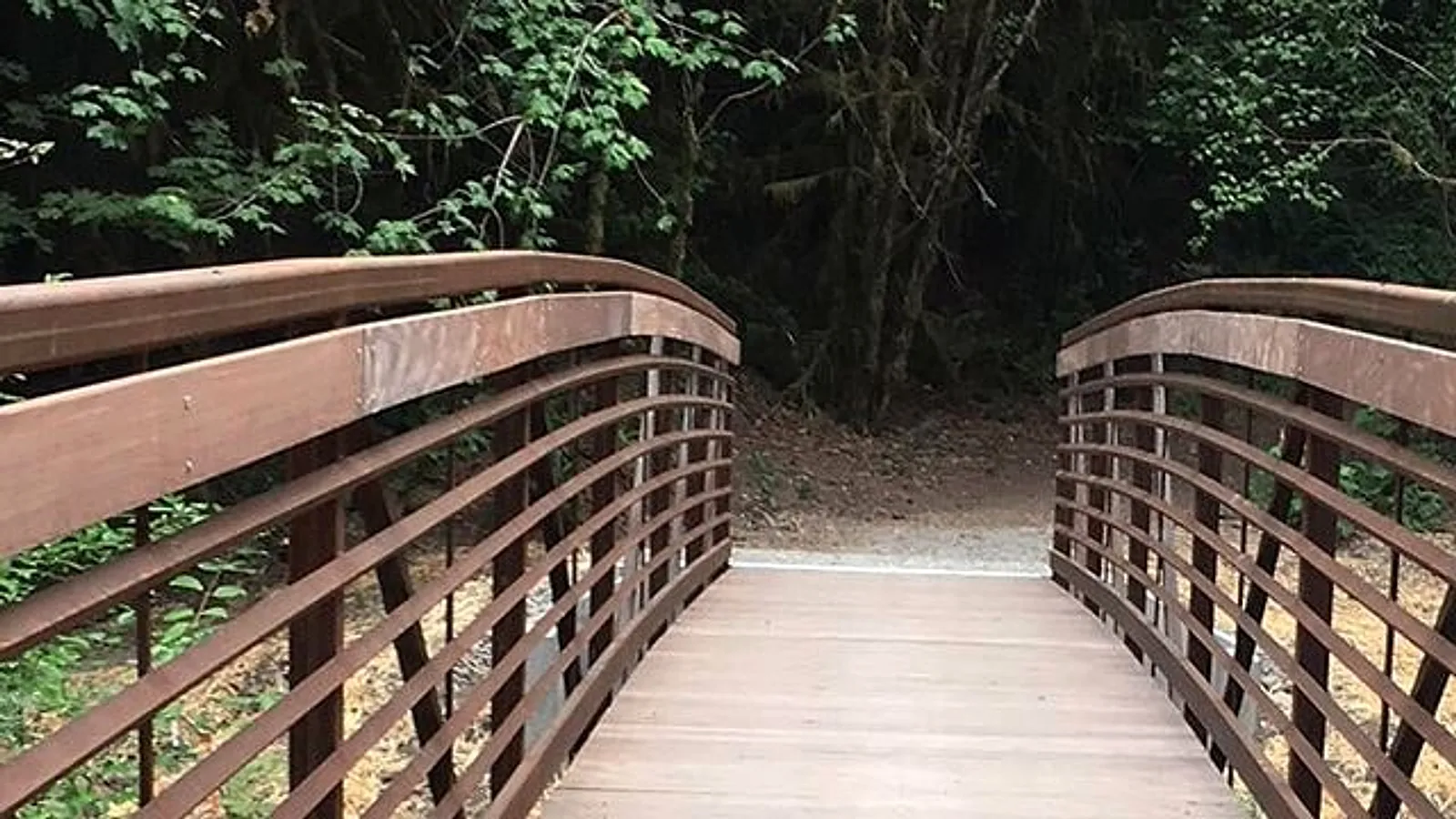 The loop crosses Maple Creek on this bridge. Photo: Whatcom County Parks & Recreation. Edited.
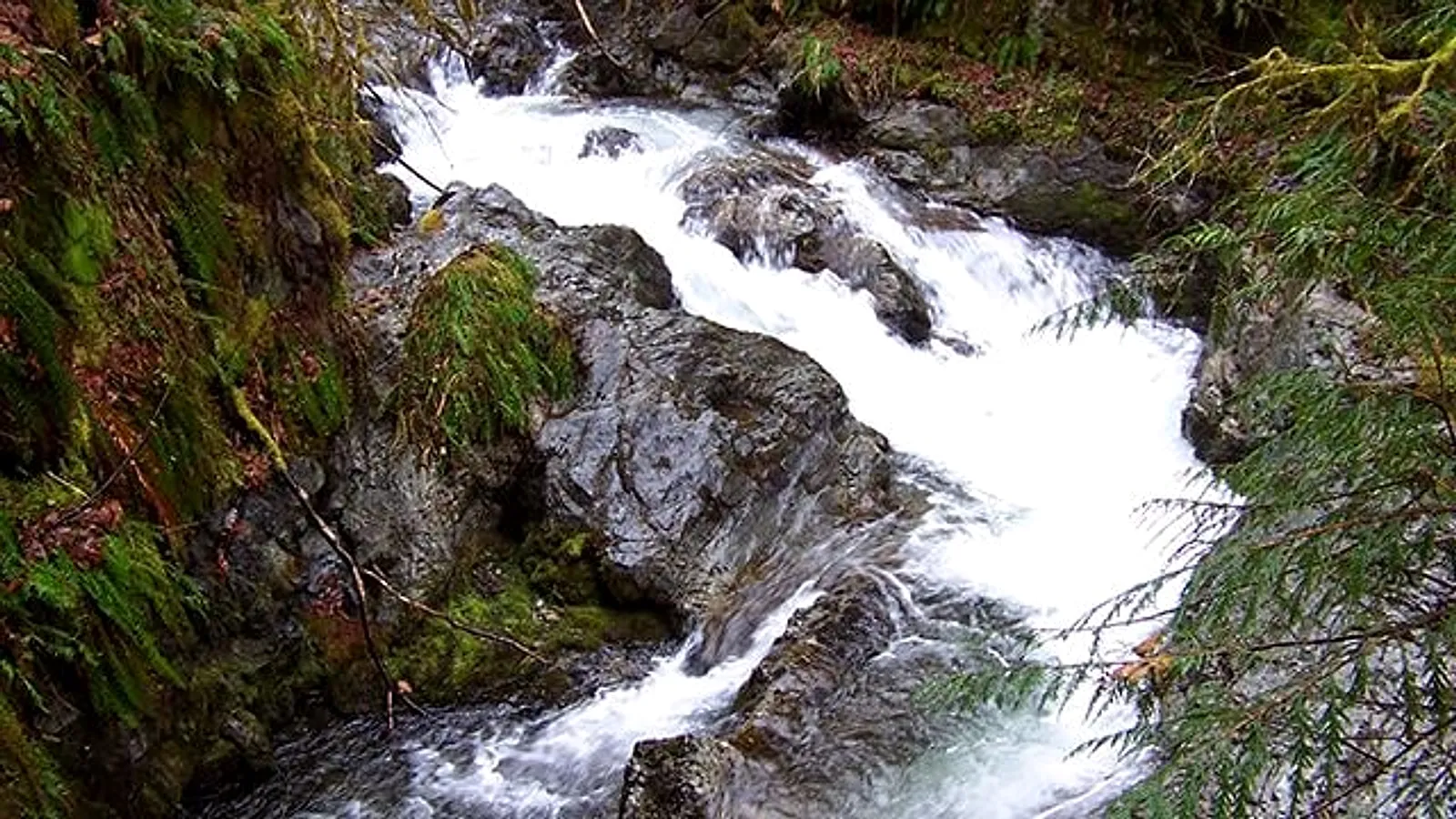 The falls the town is named for are a 0.2-mile detour off the loop. Photo: Whatcom County Parks & Recreation. Edited.
One correction the maps have not caught up with: Maple Creek Park is the trailhead for the Maple Falls to Glacier segment of the Bay to Baker Trail, and that segment does not work. The county’s page still carries the notice that the trail “was wiped out by flooding before Warnick Bridge” in 2015 and that “there is no timeline for the repair.” Eleven years on, do not plan to walk or ride it.
Silver Lake Park is the bigger day out, ten minutes north up Silver Lake Road. The county runs three campgrounds there plus a group camp, rents rowboats, canoes, kayaks, pedal boats and paddleboards in season, and keeps a lakeside lodge and cabins open year-round. The 2026 camping season runs April 10 to October 26, reservations for next year open the first business day of December at 9am, and the Lagoon Bridge is currently closed. We wrote the day-use version in our Silver Lake Park guide.
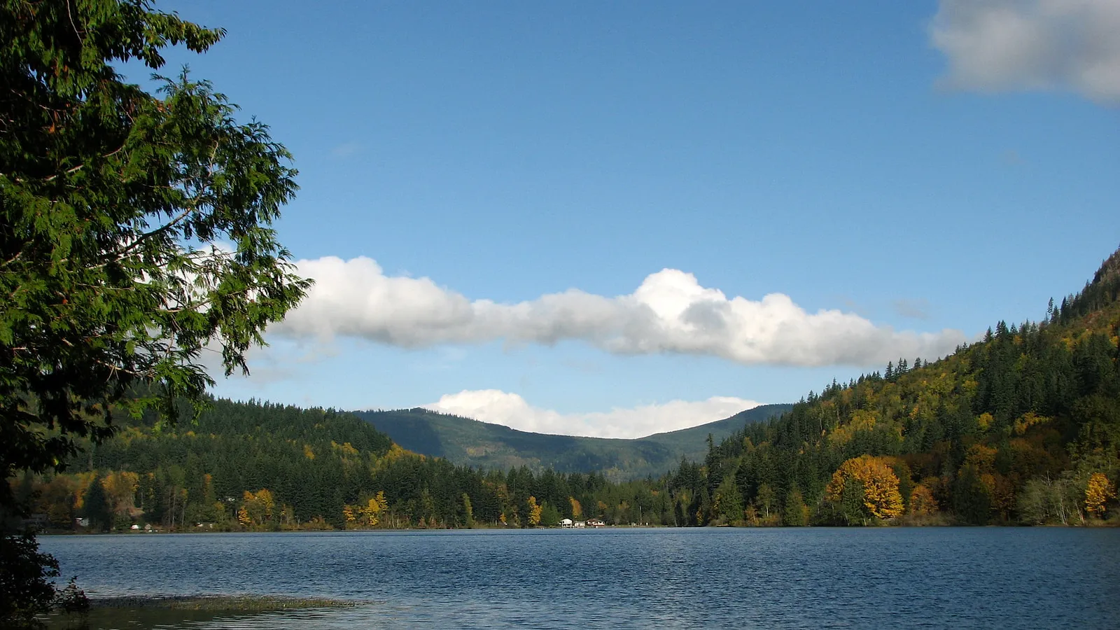 Silver Lake in October. Photo: Steven Pavlov, CC BY-SA 4.0, via Wikimedia Commons. Edited.
,_07.jpg)
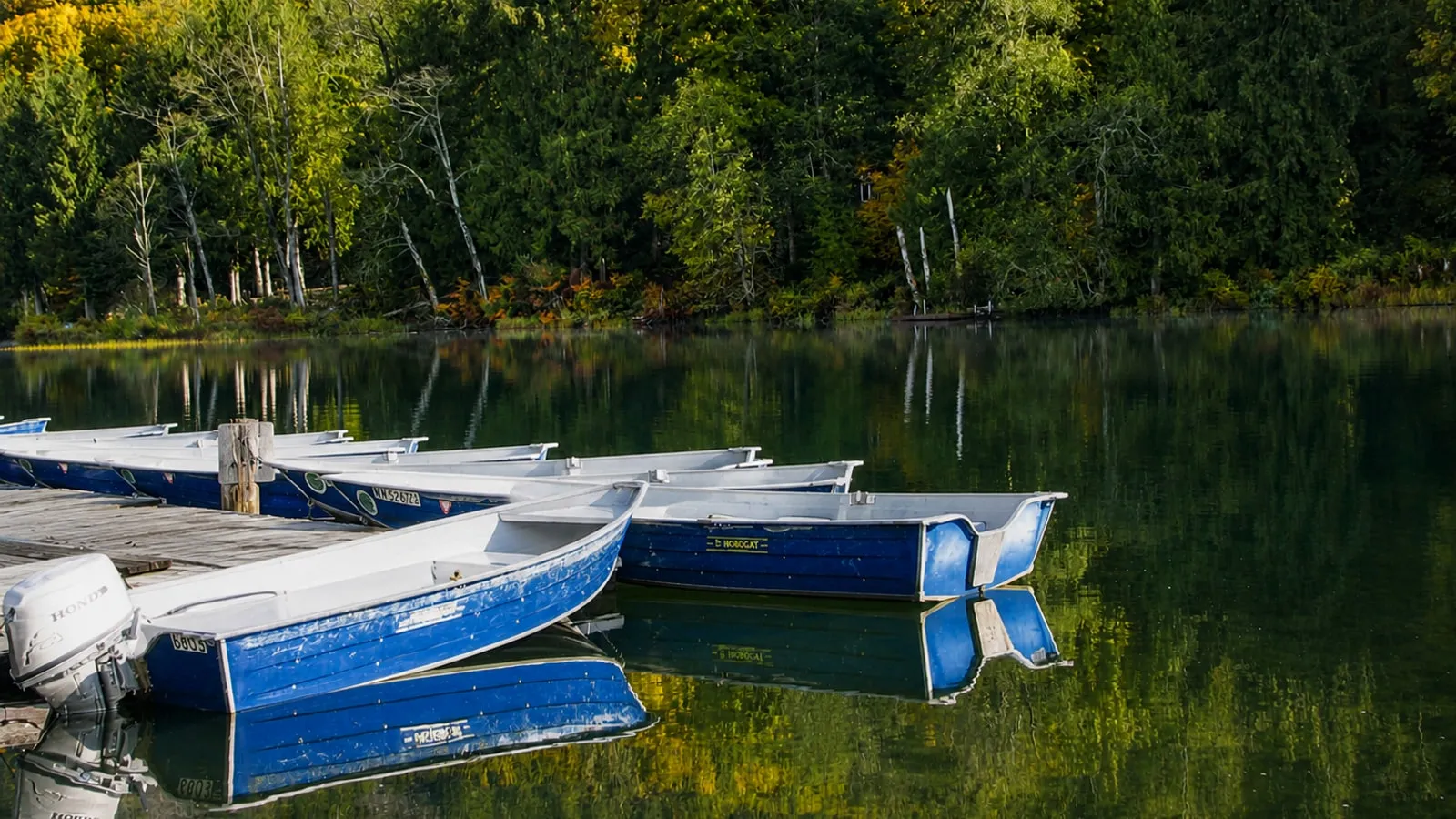 The park’s rental fleet at the dock. Photo: Steven Pavlov, CC BY-SA 4.0, via Wikimedia Commons. AI-assisted exposure restoration.
If you are fishing the lake, buy terminal tackle before you drive up Silver Lake Road. The bait and tackle aisle at the crossroads is the last one.
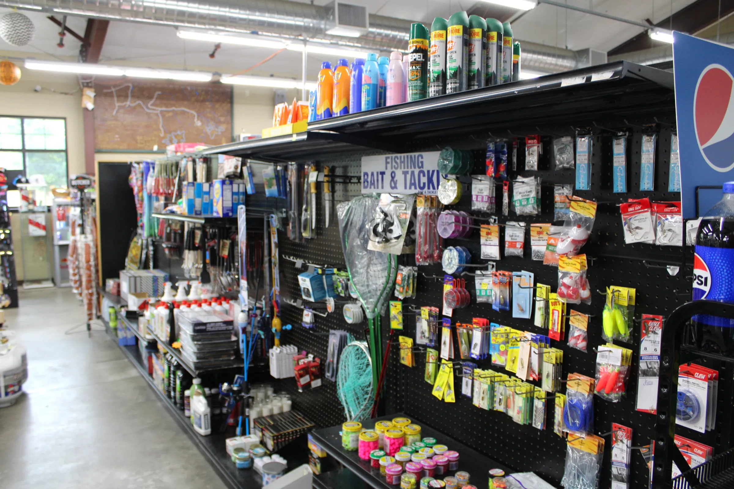 The closest tackle to Silver Lake. Photo: Chris Light, CC BY-SA 4.0, via Wikimedia Commons. Edited.

Does your phone work in Maple Falls?
Assume it will not work reliably, and assume it will not work at all above here. Coverage starts breaking up around Kendall, with pockets through Maple Falls and Glacier and essentially nothing in the national forest. Whatcom County states it plainly for its own park ten minutes from the crossroads: “There is no cell service or Wi-Fi at Silver Lake Park.”
Download your maps, your lift ticket, your reservation and the drive before you leave Bellingham. Check current road conditions while you still have signal, because SR 542 above Glacier changes faster than any page can keep up with, and chains are the law in posted zones in winter regardless of what you drive.
Where should you stay in Maple Falls?
There is no lodging at Mt. Baker Ski Area — none at all — so everyone skiing or hiking up there sleeps down the highway in Glacier or Maple Falls. The tradeoff between the two towns is simple: Glacier puts you fifteen minutes closer to the lifts, and Maple Falls puts you on the gas-and-groceries end of the road. We go through that choice in detail on our Glacier versus Maple Falls page.
We host two cabins on this highway. The Black Cedar is the black A-frame near Glacier, three bedrooms sleeping six, with a cedar barrel sauna back in the trees, a hot tub, an outdoor shower and a free espresso bar, about 40 minutes from the ski area.
The Little Red Cabin is the one actually in Maple Falls: a renovated two-bedroom sleeping four, with a private hot tub, a fire pit and a trail up Red Mountain from the yard. It sits in one of the town’s wooded subdivisions, on a corner lot facing away from the neighbours. Crossroads and the fuel pumps are three minutes away, Silver Lake Park is ten, Glacier is fifteen and the lifts are about forty-five. Both cabins are strictly no-pets, and both are booked direct with us at our best rate.
Sources and what we could not verify
Everything time-sensitive here was checked against its own source on October 11, 2026: the WSDOT facility record for the milepost, Washington State Parks for the permit vendors, Whatcom County Parks for the camping season and the Lagoon Bridge, the county’s Maple Creek Park page for the trail and the Bay to Baker notice, WCLS for library hours, The Glen at Maple Falls for its lot count and occupancy limit, the county’s Foothills Subarea Plan for the recreational-unit counts and growth-area designations, and WTA’s schedule data for the bus times.
Three things we cut rather than guess. The visitor center’s opening hours are not published on the chamber’s own site, so call (360) 599-1518. The post office’s counter hours would not load from USPS’s own locator today, so check before you drive over with a package. And we are not listing restaurant hours for this town at all: the directory listings disagree with each other, several of the businesses they name have no current source of their own, and a wrong dinner plan is worse than no dinner plan. For food we can stand behind, see where to eat near Mt. Baker.