Mt. Baker Places Hike Artist Point, WA
Table Mountain
Road open ~mid-June–Oct
Short, steep, and not casual — 2.6 miles with real exposure above Artist Point
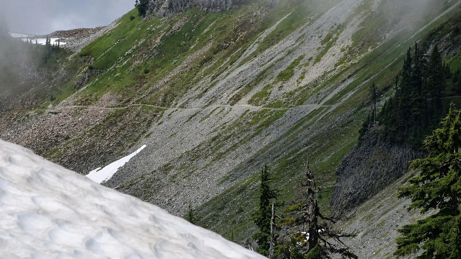
Table Mountain is 2.6 miles round trip and 725 feet of climbing from the Artist Point lot, topping out at 5,700 feet. Short is not the same as casual here. WTA warns the route can be treacherous with snow, ice, or loose gravel, and there is real exposure and drop-offs on the way up.
We recommend it to steady-footed hikers who want a summit feeling in half a morning, and we steer families with small kids to Artist Ridge instead — WTA specifically says this one isn’t recommended for small children, and dogs aren’t allowed on the trail at all (both our cabins are strictly no-pet anyway, so that rarely comes up). Save it for a dry day. Details on the road, the lot, and the neighboring trails are in our complete Artist Point guide.
Know before you go
- Round trip: 2.6 miles
- Elevation gain: 725 feet; high point 5,700 feet
- Trailhead: Artist Point lot at the end of SR 542 — road typically open mid-June until the first heavy snow, usually October
- Northwest Forest Pass ($5 day / $30 annual) or America the Beautiful pass required
- No dogs; not recommended for small children; treacherous with snow, ice, or loose gravel
Nearby & similar
More like this: all Mt. Baker Places · where to eat near Mt. Baker · the 9 best hikes